CITIES is a dataset directory which contains files describing intercity distances.
This data can be used for
The computer code and data files described and made available on this web page are distributed under the GNU LGPL license.
ASA058, a C++ library which implements the K-means algorithm of Sparks.
ASA136, a MATLAB library which implements the Hartigan and Wong clustering algorithm.
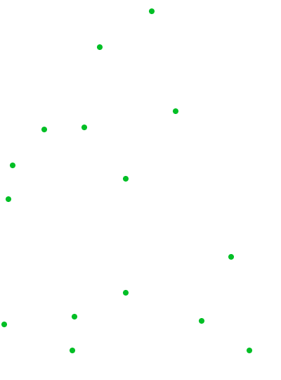
CITIES, a FORTRAN90 library which handles various problems associated with a set of "cities" on a map.
DISTANCE_TO_POSITION, a FORTRAN90 program which estimates the positions of cities based on a city-to-city distance table.
DISTANCE_TO_POSITION, a MATLAB program which estimates the positions of cities based on a city-to-city distance table.
DISTANCE_TO_POSITION_SPHERE, a MATLAB program which estimates the positions of cities on a sphere (such as the earth) based on a city-to-city distance table.
KMEANS, a FORTRAN90 library which contains several different algorithms for the K-Means problem.
KMEDIAN, a FORTRAN77 program which handles the K-Median problem.
LAU_NP, a FORTRAN90 library which implements heuristic algorithms for various NP-hard combinatorial problems.
SPAETH, a dataset directory which contains datasets for cluster analysis;
SPAETH, a FORTRAN90 library which can cluster data according to various principles.
SPAETH2, a dataset directory which contains datasets for cluster analysis;
SPAETH2, a FORTRAN90 library which can cluster data according to various principles.
TOMS456, a FORTRAN77 library which implements the routing algorithm; this is ACM TOMS algorithm 456.
TSP, a dataset directory which contains test data for the traveling salesperson problem;
CO04 gives the distances between 4 cities; the goal is to choose some of the cities as distribution sites; for each city, we then choose the FURTHEST distribution site, so as to MAXIMIZE the total transportation cost to all cities.
GRID04 describes 4 "cities" on a simple grid.
HA30 describes the airline distances, in hundreds of miles, between 30 international cities. For this problem, the spherical geometry is significantly different from the planar approximation.
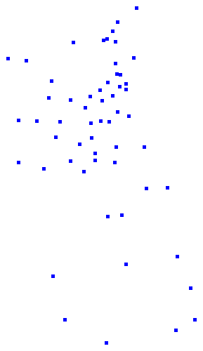
KN57 describes the distance in (integer) miles between 57 cities. Since these are "highway miles", the distances are difficult to use to construct an exact planar map.
LAU15 describes the distance between 15 cities, and seeks a solution to the traveling salesman problem. The XY data was computed as a least squares fit to the DIST data, and so does not exactly correspond.
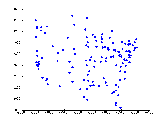
SGB128 describes 128 cities in North America.
SH07 gives the distances between 7 cities; the goal is to choose 3 of the cities as distribution sites so as to minimize the total transportation cost to all cities.
SP11 describes 11 artificial cities, with arbitrary integer distances.
UK12 describes 12 cities, with integer distances representing the travel time, in minutes, between pairs of cities.
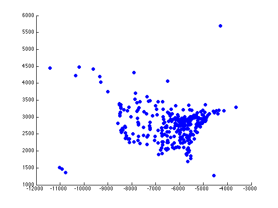
USCA312 describes 312 cities in the US and Canada. Distances between the city are computed from latitude and longitude, not from road mileage.
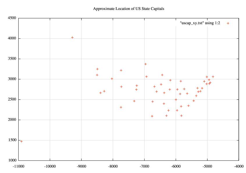
USCAP describes the location of the 50 US state capitals.
WG22 describes 22 cities in West Germany and comes from Spaeth.
WG59 describes 59 cities in West Germany, and comes from Spaeth.
You can go up one level to the DATASETS directory.